Made through uses of Photoshop, Illustrator, and InDesign.
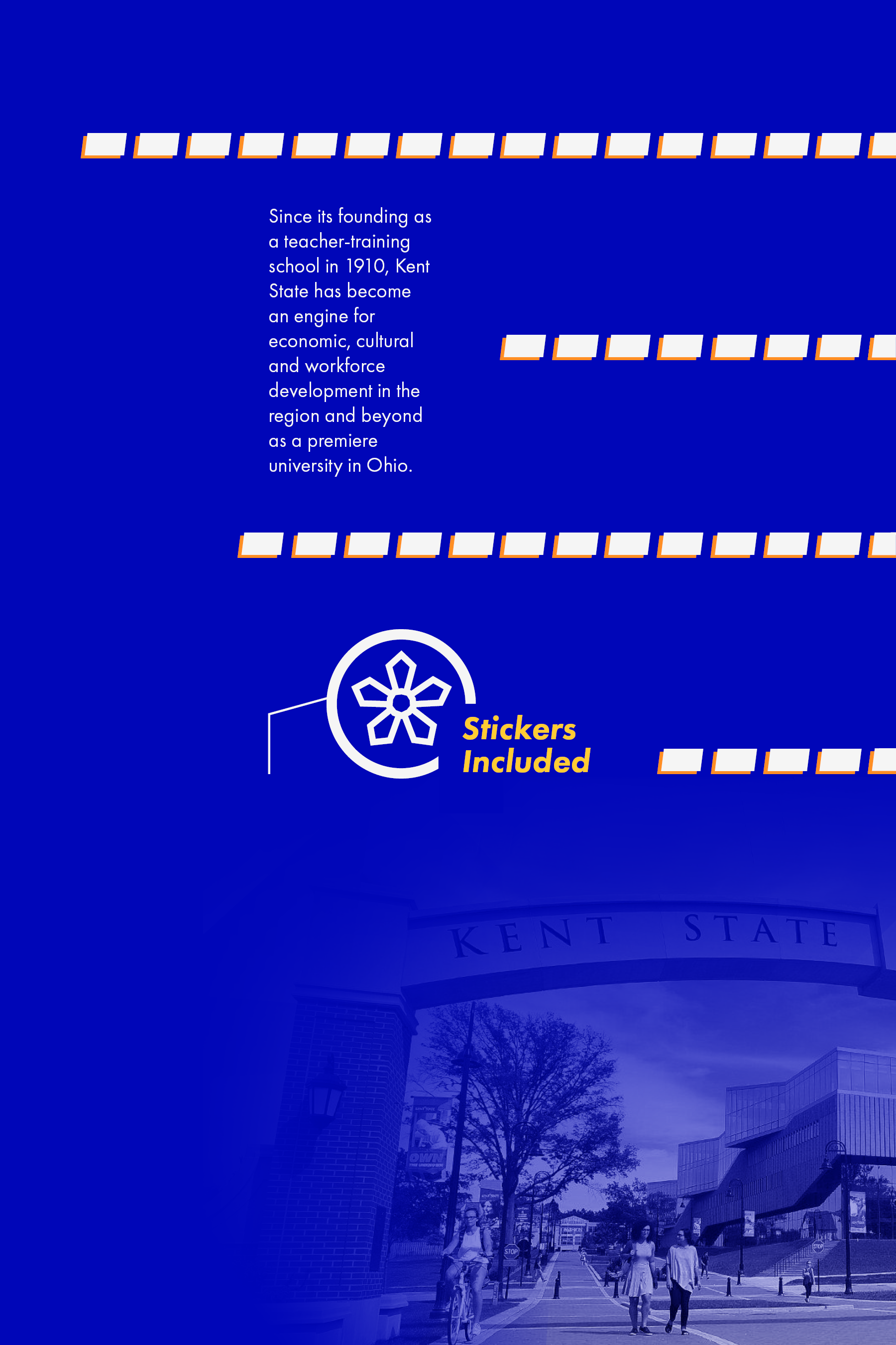
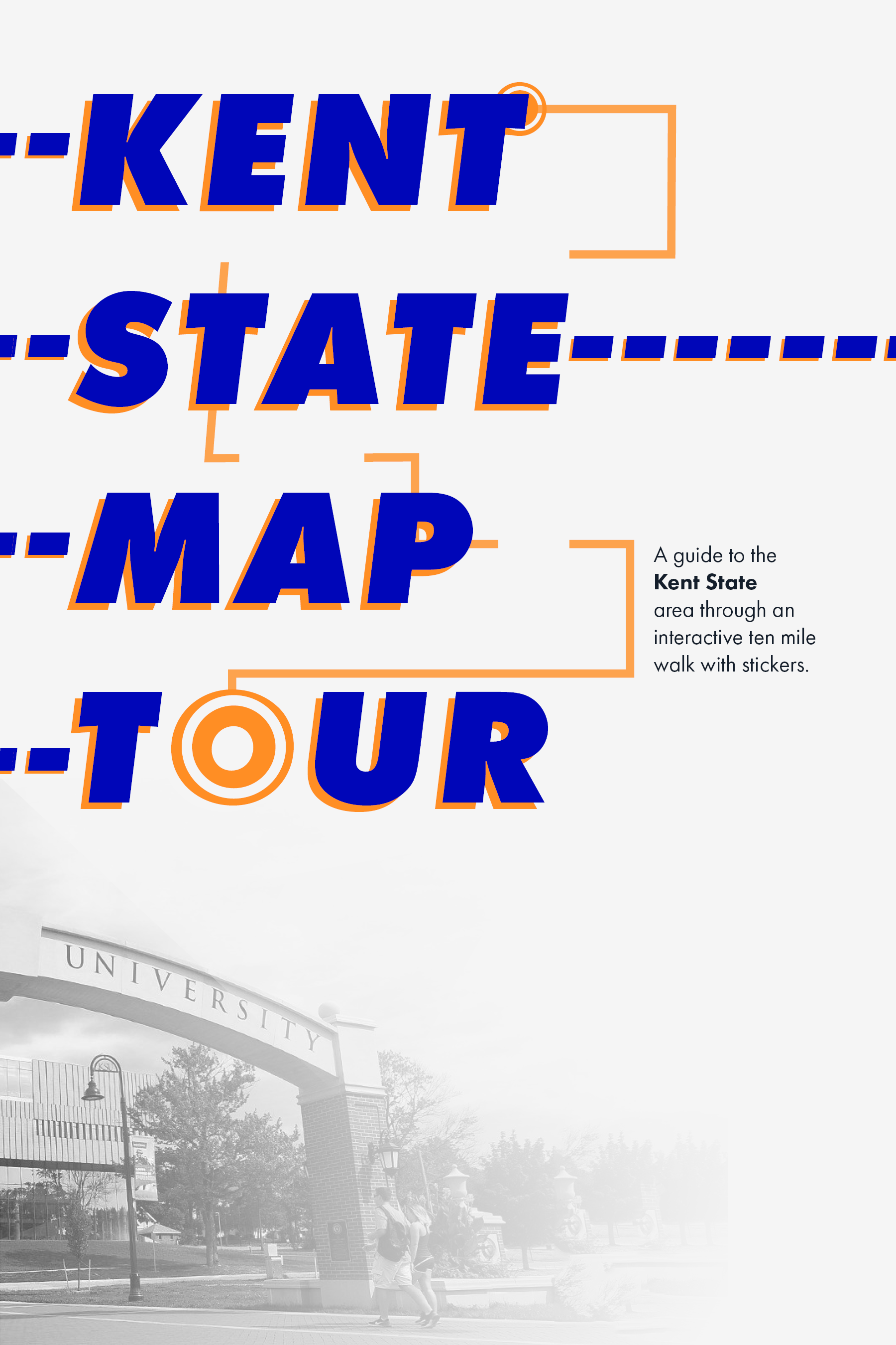


Through a newfound experience, this book was created after walking around the Kent State area along a 10 mile route. This route was converted into an interactive booklet for users to pick up and experience as well. It includes stickers and a pull out map for users to mark landmarks and track their ongoing route progress.